
A pilot program will determine how effective drones are for restoration efforts that impact the resilience of natural ecosystems and coastal communities along the East Coast.
By Mary Claire McCarthy
A partnership between Elizabeth City State University (ECSU) and Audubon North Carolina is harnessing the unique power of drones for conservation. This pilot program will determine the feasibility of using drones for marsh restoration, making it a potential model for coastal communities adapting to sea-level rise and storms intensified by climate change.
We’re familiar with using drones for package delivery or for taking mouth-dropping photos, but we’ve never seen them take to the sky quite like this.
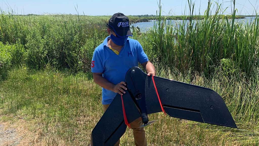
With funding from N.C. Policy Collaboratory, researchers and students from ECSU are using drones to conduct aerial surveys of the Donal C. O’Brien Jr. Sanctuary at Pine Island and the Currituck Banks National Estuarine Research Reserve.
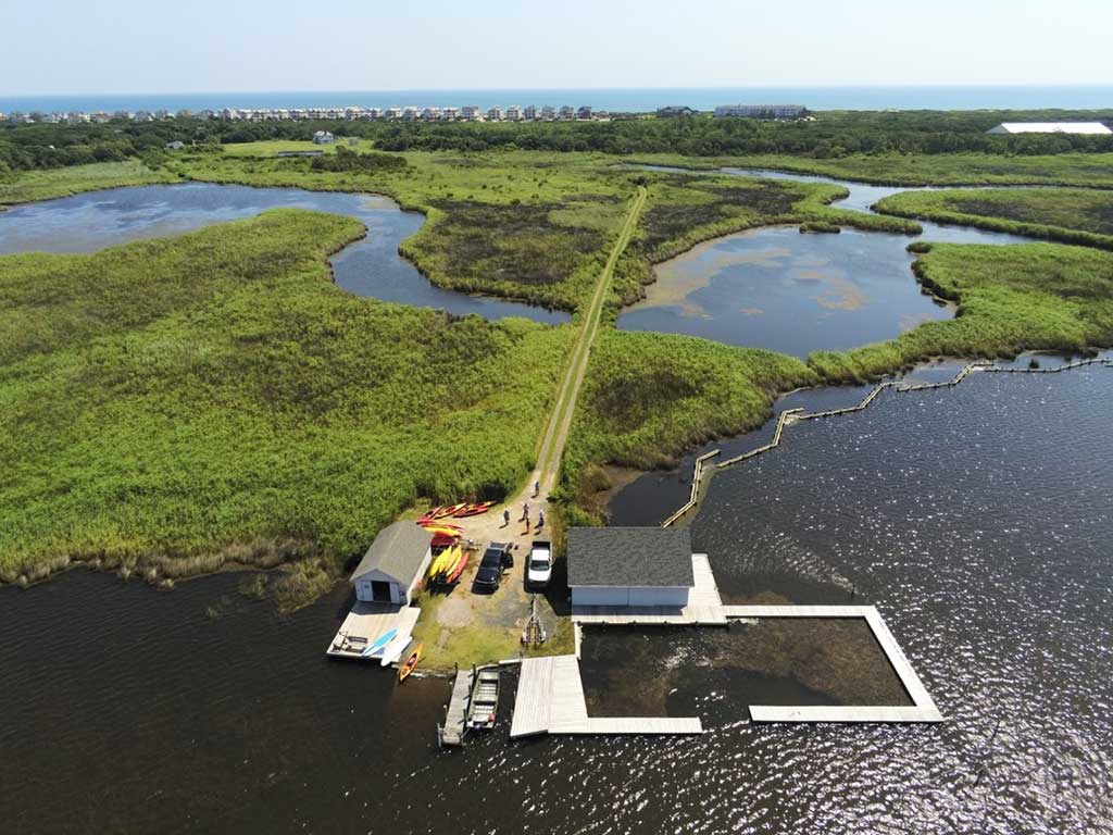
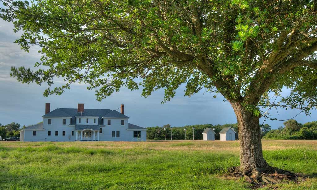
Nestled between the Atlantic Ocean and the Currituck Sound, Pine Island is home to the Donal C. O’Brien Jr. Sanctuary and Audubon Center. This property marks some of the last undeveloped lands on the northern portion of the Outer Banks, preserving 2,600 acres of marsh, upland maritime forest and sandy beaches, as well as offering a lens into the area’s unique hunting heritage. Audubon North Carolina, a branch of the national nonprofit that works to conserve and restore natural ecosystems for the protection of birds and other wildlife, has ambitious plans to transform the former private hunting lodge into an epicenter for researchers to study how humans and wildlife will adapt to coastline change. Cue the drone program.
“This whole project is about new approaches. Drones give us a new, efficient, and inexpensive way to do detailed conservation planning. The end goal is to figure out the best ways to restore freshwater marshes in really complex systems like the Currituck Sound, which ultimately helps birds and people,” explains Cat Bowler, the coastal resilience program manager at Audubon North Carolina.
Drones will map shoreline changes and vegetation on Pine Island. The interior of the marsh is hard to access by foot, making field surveys difficult. But Robert Fearn, the sanctuary and Audubon North Carolina center director, says, “Using the drones, we can look at the marsh at a landscape scale, and you start to see patterns emerge that you couldn’t see from ground level.” Gaining a deeper understanding of the distribution of marsh vegetation and places that need restoration is crucial for creating a management plan that sustains the wildlife that roams its tall marsh grasses.
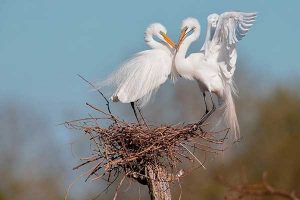
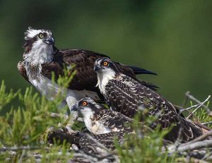
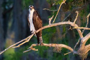
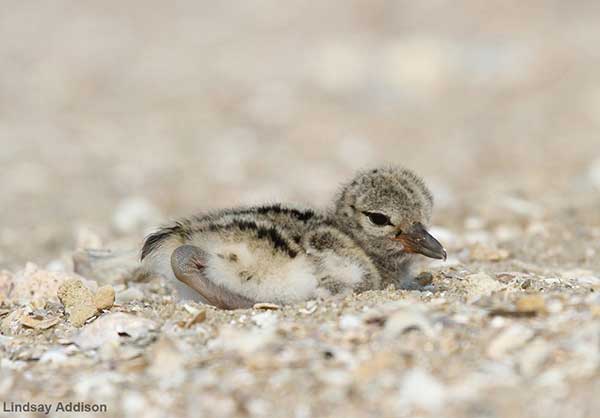
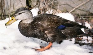
These marshes, among other habitats at the sanctuary, supply crucial habitats for hundreds of species. Hundreds of birds, prowling bobcats, hand-holding otters, and Southern Leopard frogs are just a few of the many animals that call this place home. Plus, the island is nestled along the Atlantic Flyway, one of the four major routes that migratory birds travel in North and South America. The sanctuary is a critical coastal wetland habitat within the Atlantic Flyway avian superhighway, offering a place to refuel and rest for thousands of waterfowl each year and is one of the largest waterfowl wintering sites on the Eastern Seaboard.
Coastlines are continually shifting bodies impacted by natural processes like wave characteristics and sediment composition, in addition to events like natural disasters, rising sea levels, and erosion. The second goal of this project aims to monitor these shoreline changes. The drones can capture high-resolution images to determine changes up to mere centimeters. Images taken this December will serve as a baseline, and then drone flights throughout the year will help determine how the coastline has changed. The second round of images can offer efficient and timely data after significant events like hurricanes or nor’easters.
The drones are used for a host of purposes. They can tell conservationists if a particular area’s vegetation is less green, indicating that some vegetation is dying. Or they can use thermal sensors to know if parts of the landscape are hotter or moister than typical conditions. The drones assign exact GPS coordinates for every image, too, so researchers know specific locations for different vegetation and coastline changes-an essential component for planning. These are certainly much more than your beach-trip selfies.
ESCU is the only university in North Carolina with a 4-year aviation program, which makes sense as the Wright brothers launched the first airplane less than 50 miles away at Kitty Hawk. Kuldeep Rawat, a lead researcher on this project and Dean of the School of Science, Aviation, Health, and Technology at ECSU, says, “Drones are basically a very low-cost option to do these kinds of things, and they also produce terrific aerial imagery.” They can quickly and cost-efficiently cover a lot of ground.
The only other reasonable way to take these photos is with satellite imagery, which only offers low-resolution images taken at infrequent time intervals. Instead, drones make the Audubon Society’s response time to change quicker, which keeps the ecosystems more stable and resilient.
Rawat says, “If you’re talking aerial imagery, I can’t think of anything better than drones at this point.”
Research was slated to begin in March, but the COVID-19 pandemic delayed the launch. Drone flights will now take place in December, though preliminary flights have already taken place this fall. ECSU plans to continue monitoring Pine Island by drone until at least June 2021, giving the team nearly a full year of data to work with.
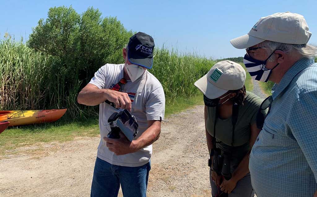
Collaboratory funding also supports two students from ESCU’s Unmanned Aircraft Systems. These students will learn real-world applications of what they’ve studied in the classroom. They’ll use critical thinking skills through their experiences with the whole workflow, from planning the mission to visiting the site and inspecting it for the best places to launch the drone.
The Audubon Pine Island Sanctuary sits nestled between the Atlantic Ocean and the Currituck Sound. This area is an unusually complex system. First, the sound is primarily freshwater, which drives what plant and animal species will thrive there. As sea levels rise, saltwater washes into the system, negatively impacting vegetation. So far, vast marshes and submerged grasses supporting fisheries and other wildlife have eroded away. Pine Island has lost 8 acres of shorefront since 2006. By the end of the century, sea-level rise could push the water level up by a full meter. And as Bowler says, “If birds are in trouble, people are normally not far behind.”
Second, the water levels in the Currituck Sound are driven by winds instead of lunar tides. The ocean is a mystery, but many people remember from middle school that the moons’ gravitational pull creates tides. Not here, though. As winds push the water levels up and down, the shorelines and marshes erode, just like any tidal process. The tricky part is that lunar tides are more predictable, while winds change from day-to-day. From hour-to-hour, even. This makes the system unpredictable-a thorn in the side of any management planning. This project will show whether drones can weather the winds in such a complex system.
The Northeast is witnessing some of the most rapid sea-level rise in the United States, and communities are experiencing sea-level rise that wasn’t expected to happen until mid-century. But it’s happening, and it’s impacting shoreline erosion, storm surges, flooding and wildlife biodiversity. It turns out restoring natural landscapes can help address these issues. Restoration projects like the sanctuary’s living shoreline is a newer solution to shoreline erosion and just one of the many taking place at the sanctuary.
After Hurricane Florence in 2019, Governor Roy Cooper launched an initiative to cut greenhouse gases (GHG) and build more resilient coastal communities. Thereafter, state and federal grants were awarded to Audubon North Carolina to fund a comprehensive marsh restoration planning and design project on the Currituck Sound. State officials want to draw on restoration projects like these to make wildlife habitat and neighboring communities more resilient to flooding, sea-level rise, and storms.
“For birds, marshes provide habitat. They’re a really important part of the broader ecosystems. And then for people and communities, natural infrastructures like marshes and wetlands, more generally, often provide the first line of defense against flooding, storms and erosion. And on top of that, they’re this really important source of recreation and often heritage,” says Bowler.
Historically, people viewed marshes as breeding grounds for mosquitoes and disease. We now know that coastal marshes are crucial to the environmental health of a region. Besides protecting communities from rising sea levels and intense storms, they filter nutrients and pollution from water, capture carbon, support breeding grounds for commercially valuable fish and offer recreational opportunities.
As Fearn puts it, “Marshes are sort of the rainforests of the coast.”
By rejuvenating the Currituck marshes and other habitats, Audubon North Carolina is building the foundation for the long-term sustainability of not only birds and other wildlife but coastal communities as well.
Mary Claire McCarthy is a second-year graduate student at the University of North Carolina at Chapel Hill Hussman School of Journalism and Media. Upon completion of her thesis research this fall, she will finish the Dual-Degree Environmental Science Communication Program. Her research focuses on how communicators can harness the power of social media to engage with Generation Z on environmental topics such as climate change and forest ecology. If you would like to reach her to discuss this research, her email is mclaire7@live.unc.edu.